A splendid land
Supplies were running short. Horses were starving. Some had not had corn for three days and the grass was gone, overgrazed by thousands of buffalo.
The 1869 expedition had ventured beyond the known settlements of the Solomon River on a journey of discovery for the Junction City, Solomon Valley & Denver Railroad. Promoters hoped to build the railroad up the sparsely settled Solomon Valley. No one knew the country beyond the confluence of the North and South Solomon Rivers, known as “The Forks” (covered today by the waters of Glen Elder Reservoir).
The expedition was supported by 60 volunteer troopers led by Captain Richard Stanfield, Company D and Lieutenant Chauncey Whitney, Company A, Kansas State Militia. The commanders were veteran Indian fighters. Stanfield had come to Kansas in 1867, taking up a homestead on White Rock Creek in Republic County in 1868. After Cheyenne raiders killed settlers and took captives, Stanfield was elected captain of the local Salt Creek Militia. When the Kansas State Militia was formed in June 1869, Governor James Harvey commissioned him Captain of Company D.
Chauncey Whitney had served in Forsyth’s Scouts, participating in the famous Beecher Island fight with the Cheyenne, Arapaho and Sioux in September 1868. Returning to Ellsworth, he served as Ellsworth Constable until appointed First Lieutenant of Company A in July 1869.
The Kansas Militia was made up of plenty of men with “scores to settle.”
Unfortunately the militia was not well-supplied. Within days of venturing beyond “The Forks,” provisions became critically depleted. The “blinding fury” of an Oct. 22 snowstorm tested their resolve. However, as Kansas weather is prone to do, the day turned unusually warm and pleasant on Oct. 25.
That day the party passed through an abandoned Indian camp. More than 2,000 people were estimated to have lived in the village covering more than a half-section of land. They supposed it to have been occupied in the previous year, although they did find 10 horses running loose nearby on the open prairie.
Scouts had seen signs of Indians north of the river and strangely, the buffalo were moving north, unusual for the time of year. Suddenly, buffalo swarmed the camp. A previous order against shooting was suspended and “more than a dozen” buffalo were killed to supply the expedition of 75 men with meat.
Leaving the camp on the river bottom, McBratney and others visited the uplands framed by a layer of magnesium limestone. “From the uplands the view is splendid; several timbered Cr. (creeks) coming toward the river as far as the eye can reach.”
The morning of Oct. 26 the party rode along a wide, unobstructed valley over level, rich land for 10 miles. An old overgrown trail was discovered and followed throughout the day. (The remnants of the Leavenworth & Pikes Peak Stage Road from the Colorado Gold Rush of 1859-1860). Seven miles further brought them to camp in a wooded area along the river.
Capt. Stanfield had determined to leave the expedition and return to his post in Republic County. His horses were starving and despite the abundance of buffalo, his men were out of hardtack, a sort of cracker that was the mainstay of military rations. With half the supporting militia abandoning the expedition, McBratney reluctantly concluded “to take the back track with feelings of keen regret.” The camp (near present-day Logan, Kan.) was named Camp Retreat.
Command of the escort was taken by Lt. Chauncey Whitney. Lt. Henry Tucker of Company C was with him. Like Whitney, Tucker was familiar with the upper reaches of the North and South Solomon Rivers from the campaign that resulted in the Battle of Beecher Island. The experienced Indian fighters told McBratney that another two days’ march would bring them into the midst of Cheyenne, Sioux and Arapaho camps, “now engaged in laying in winter supplies.”
Limited supplies of both provender and ammunition were reason enough to support the decision to return to civilization.
On the return march, a pause at a creek (southwest of Kirwin Reservoir) led to the inspection of a chalk bluff one-half mile to the north. Professor Mudge, intent on collecting fossilized oyster shells, made the most interesting discovery of a “vertebrae” found in the lowest layer of the chalk formation where, although the head was missing, the “very perfect” bones had laid buried ever since this portion of the world was a tropical ocean.
The bones indicated a reptile about eight feet in length. It has been speculated that Mudge had found a Mosasaur. The site was named Saurian (Lizard) Point and the creek below, Saurian Creek, names that have not survived to the present.
The return to the mouth of the Solomon River witnessed a dwindling escort until the original railroad expedition was left alone on their last leg of the journey. They had traveled 150 miles into the fertile valleys of the Solomon. It would be another 10 years before a railroad would churn into the valley to secure the future that Robert McBratney had envisioned when he dared to look upon the land of splendor beyond “The Forks” of the Solomon River on The Way West.
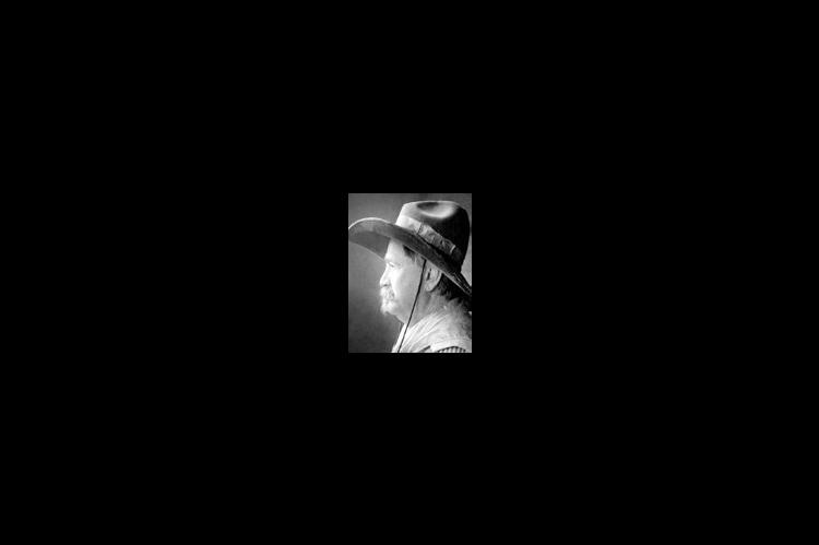
“The Cowboy,” Jim Gray can be reached at 220 21st Rd., Geneseo, KS. 67664. Phone (785) 531-2058 or kansascowboy@kans.com.